



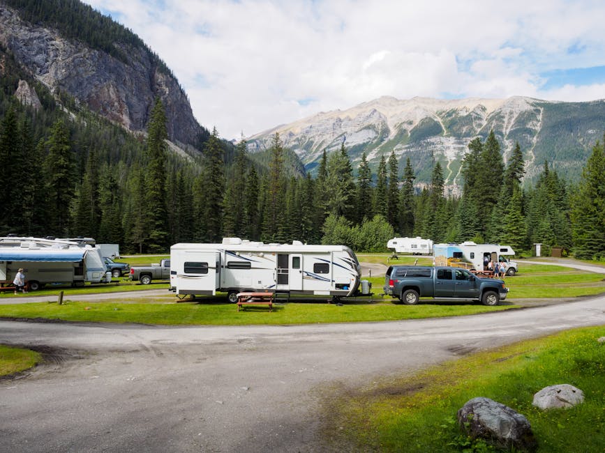
Staying Ahead of Environmental Closures
The open road is unpredictable, and recent headlines highlight the reality of modern RVing. From fire restrictions sweeping across Western national parks and forests to unexpected campground closures due to flooding at [Glacier National Park](/park/glacier-national-park), your travel plans require constant adjustment.
Always check the official website of the national park or forest service district you are visiting at least 48 hours before departure. Relying on outdated GPS data can lead you to closed roads or restricted areas.
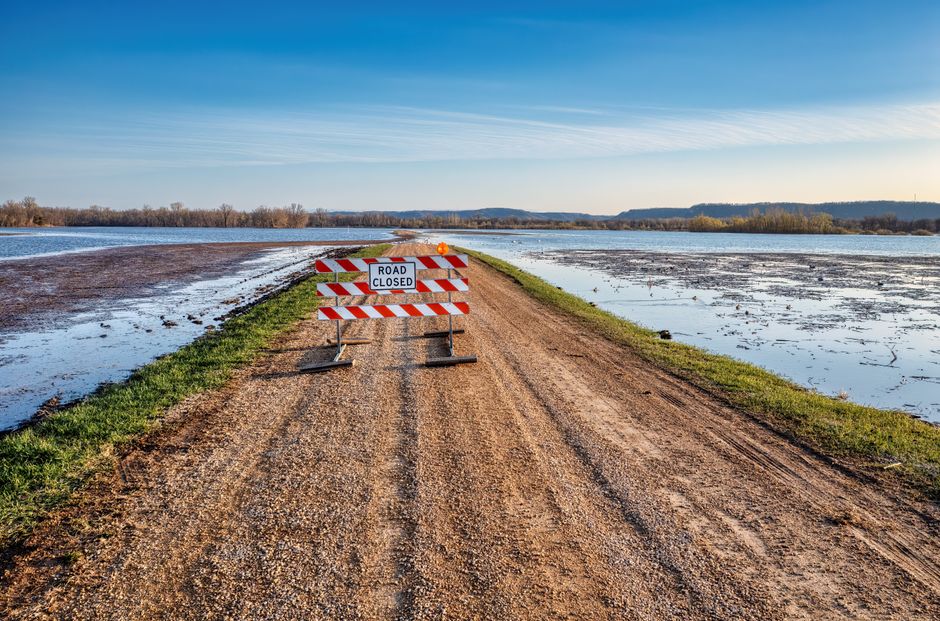
Planning for Fire Restrictions and Heat
Navigating Burn Bans
When visiting areas like [Hot Springs National Park](/park/hot-springs-national-park), fire restrictions are common during dry seasons. Being prepared means having a backup plan that doesn't involve an open campfire.
Carry a portable propane fire pit or high-quality grill that adheres to local safety regulations. These are often allowed even when wood-burning fires are strictly prohibited, ensuring you don't lose the ambiance of your campsite evenings.

Proactive Safety for RVers
- Download offline maps to ensure you can navigate if cellular signals fail during severe weather events.
- Monitor regional air quality indices if you are traveling through areas with active wildfire activity.
- Join local social media groups or RVer community forums where travelers provide real-time updates on road washouts and site closures.
The key to successful RV travel isn't a perfect schedule; it's the ability to pivot. When one park closes, look for neighboring state parks or Bureau of Land Management lands that may remain accessible and safe.